Satellite Data Analytics
Turn EO imagery into operational intelligence
Build satellite analytics pipelines for monitoring, forecasting, and decision-ready reporting across industries.

Analytics workflows we deliver
From raw imagery to insight, we streamline the full EO lifecycle.
Atmospheric correction & preprocessing
Calibrate imagery and normalize reflectance for analysis.
Spectral indices & feature extraction
Vegetation, water, and soil indices for thematic mapping.
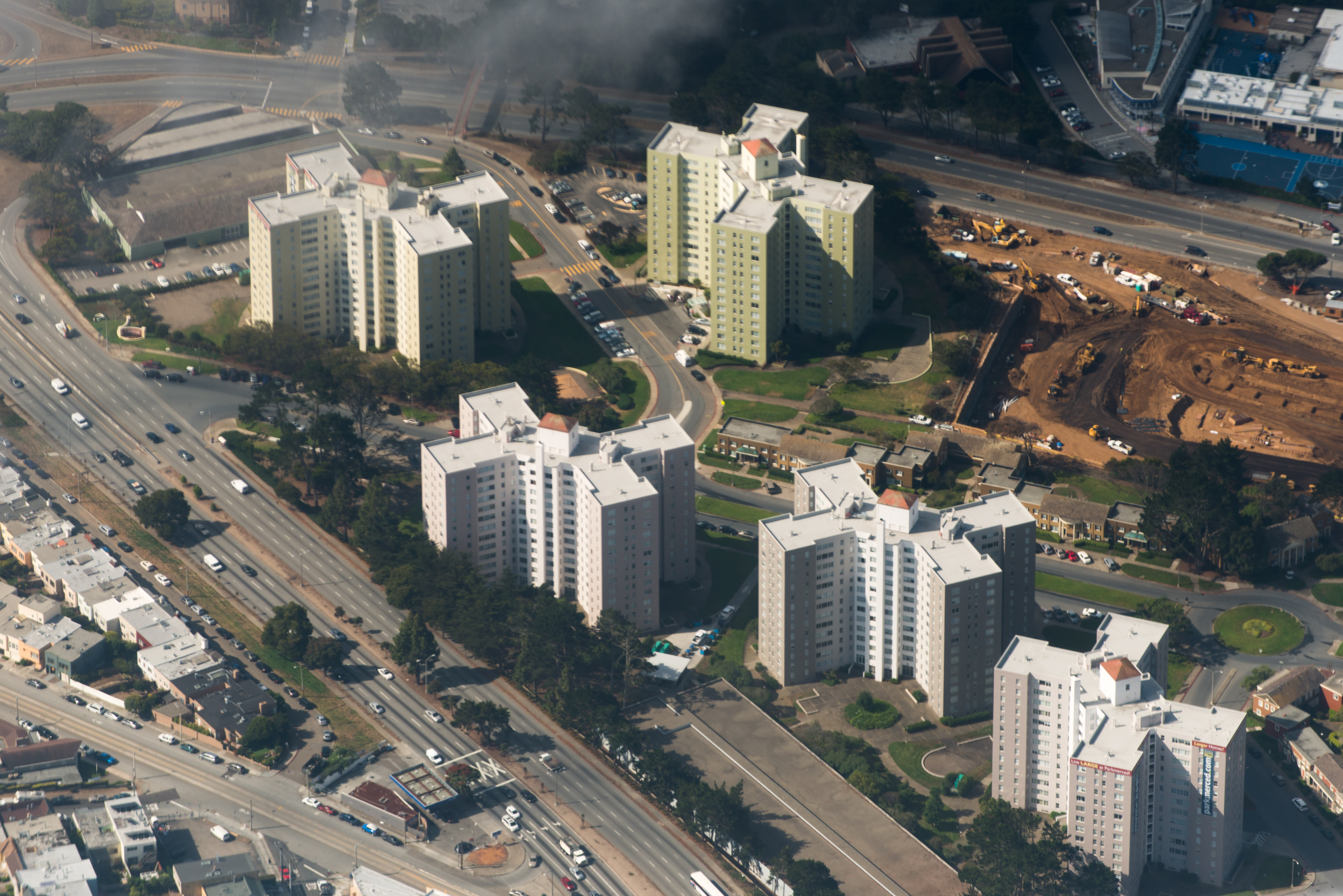
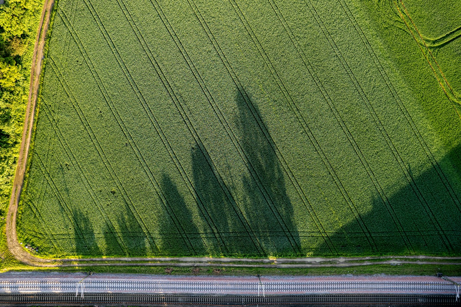
Change detection & monitoring
Detect land-use, infrastructure, and environmental change.
Time-series analytics
Track seasonal trends and anomaly signals over time.
Cloud masking & mosaicking
Quality controls to produce reliable, cloud-free layers.
Operational delivery
Dashboards, alerts, and APIs for real-world decisions.
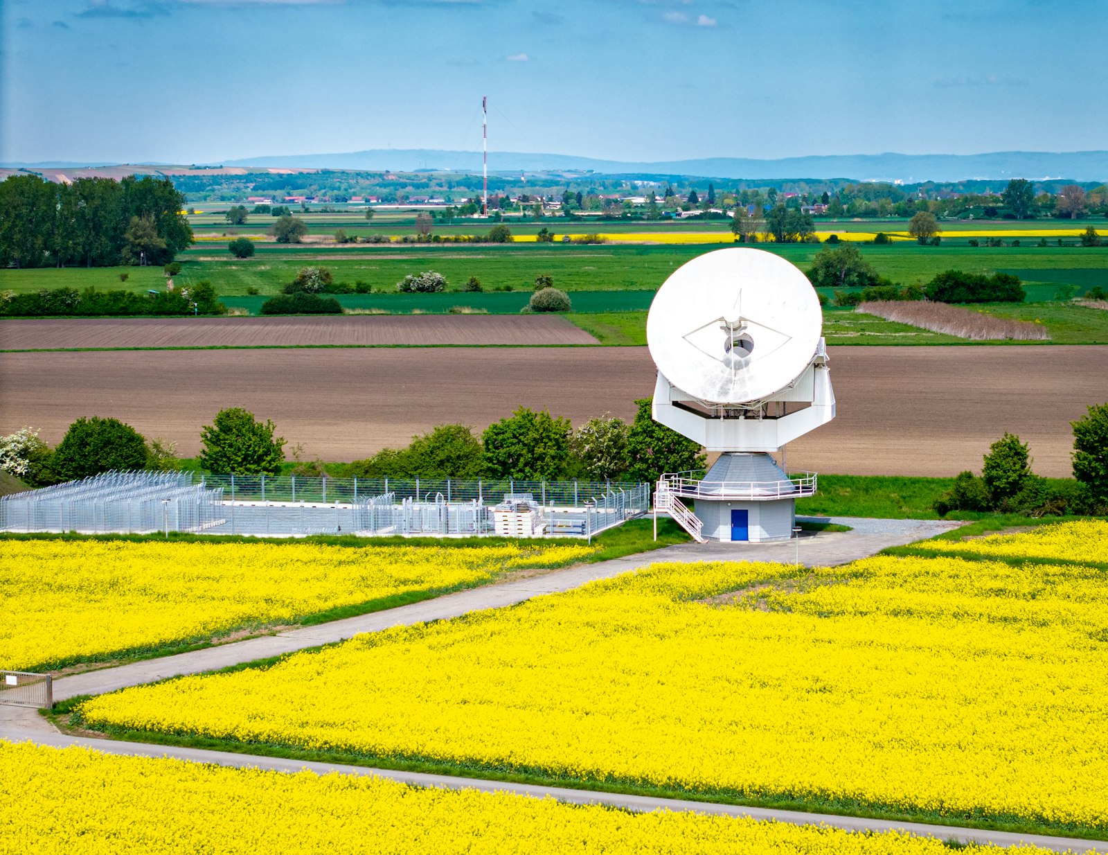
Satellite data foundations
We align analytics to the strengths of leading Earth observation missions.
Landsat 8 imagery with a 16-day revisit and 11 spectral bands
Sentinel-2 multispectral imagery with 13 bands, 10/20/60m resolution, and a 290 km swath
Multi-source time series for trend and anomaly detection
Ready to scale EO analytics?
We help teams operationalize EO pipelines with automation and reliable delivery.